


- 10 Dec 2009, 18:58
#209291
Saj FR310 utrip lovi tudi pod vodo, ampak na grafu se točno vidi, da ga je med plavanjem izgubljal, vrednosti šibajo gor-dol kot žaga, kar pa ni realno, če plavaš enakomerno.
Polar rs200 tudi ujame utrip v vodi, ampak ker prikaže le povprečno in maximalno vrednost, ne vem, kaj točno je ujel.
So pa to bili samo enkratni testi, da vidim, kaj nova igrača zmore. Med plavanjem si ne nameravam meriti utripa . Ima tale nov garmin zadosti drugih koristnih funkcij
  .
.
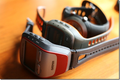
garmin 50 napisal/-a:klatez napisal/-a:izzardly napisal/-a:...
Ker je ura namenjena multisportu (tudi dobila sem jo na triatlonu), sem jo septembra testirala v morju, da vidim, če je uporabna za plavanje. Pa niti ni.
Na roki oz. nogi že 10cm pod gladino izgubi signal in zaradi gibanja izmeri skoraj dvojno razdaljo. Je pa meritev presenetljivo natančna, če je ura v kapi. Utripa se ne splača meriti pod vodo, saj se signal neprestano izgublja.
...
LP
GPS signala ni v vodi...
Enako je pri utripu - tudi ne deluje v vodi.
Mislim, da je enako tudi pri Polarjih in ostalih, a ne?
<Grmin FR50 prikazuje srčni utrip v vodi, preverjeno,letos na morju! Sem pozabil sneti pas ko sem prišel iz fure in derekt v morje, tako da Fr 50 in pas od edge 305 (4.leta star) prikazuje utrip!
Saj FR310 utrip lovi tudi pod vodo, ampak na grafu se točno vidi, da ga je med plavanjem izgubljal, vrednosti šibajo gor-dol kot žaga, kar pa ni realno, če plavaš enakomerno.
Polar rs200 tudi ujame utrip v vodi, ampak ker prikaže le povprečno in maximalno vrednost, ne vem, kaj točno je ujel.
So pa to bili samo enkratni testi, da vidim, kaj nova igrača zmore. Med plavanjem si ne nameravam meriti utripa